-
Home
- About
- Administration
-
Govt office
Agriculture & Food
-
Agriculture Extension Dept.
-
Dist. Food Controller Office
-
BFSA, Jhenaidah
-
Regional sericulture extension office, Jhenaidah
-
District Fisheries Office, Jhenaidah
-
District Livestocs Office
-
Dept. of Jute
-
Department of Environment, District Office, Jhenaidah
-
BADC
-
Office of the Department of Agricultural Marketing, Jhenaidah
-
Dept. of BADC(SM)
-
Bangladesh Institute of Research and Training on Applied Nutrition (BIRTAN)
-
District Seed Certification Agency Office
-
মৃত্তিকা সম্পদ উন্নয়ন ইনস্টিটিউট, ঝিনাইদহ
-
Soil Resource Development Institute, Regional Office, Jhenaidah
Education and Culture
-
District Primary Education office
-
District Education office
-
District Bureau of Non-formal Education
-
District Shilpakala Academy
-
Bangladesh Shishu Academy
-
District Sports Office
-
Medical Assistant Training School, Jhenaidah
-
District Public Library, Jhenaidah
-
Primary Teachers Training Institute, Jhenaidah
-
Sheikh Kamal Textile Engineering College, Jhenaidah
Human Resources
-
Dept. of Social Service
-
Dept. of Youth Development
-
Dept. of Women Affairs
-
BRDB
-
Cooperation Office
-
Employments and Human Resources
-
Islamic Foundation
-
Disability Service and Help Center
-
National Women Organization, Jhenaidah
-
In-service Training Center, Jhenaidah
-
City social services
-
Probation Office, Jhenaidah
-
Integrated Visually Impaired Education Institute
Other offices
-
District Savings Office/Bureau, Jhenaidah
-
Office of the Tax Commissioner
-
Office of the District Register
-
Customs & Duty
-
District Accounts Office
-
Mobarakganj Sugar Mills Ltd.
-
District Election office
-
Passport office
-
District Statistics Office
-
Chief Cotton Development Officer\'s Office
-
Forest Dept.
-
BSCIC District Office, Jhenaidah
-
DRRO
-
Agriculture Extension Dept.
- Local Government
- Others Institution
- Gallery
- e-Services
- National anthem
-
Home
-
About
District contact
History and tradition
Geographical and Economic
-
Administration
Deputy Commissioner
Additional Deputy Commissioners
Officers and employees
Deputy Commissioner\'s Office
About Section
Administration
Important information
Information provider
-
Govt office
Security & Discipline Affairs
Agriculture & Food
- Agriculture Extension Dept.
- Dist. Food Controller Office
- BFSA, Jhenaidah
- Regional sericulture extension office, Jhenaidah
- District Fisheries Office, Jhenaidah
- District Livestocs Office
- Dept. of Jute
- Department of Environment, District Office, Jhenaidah
- BADC
- Office of the Department of Agricultural Marketing, Jhenaidah
- Dept. of BADC(SM)
- Bangladesh Institute of Research and Training on Applied Nutrition (BIRTAN)
- District Seed Certification Agency Office
- মৃত্তিকা সম্পদ উন্নয়ন ইনস্টিটিউট, ঝিনাইদহ
- Soil Resource Development Institute, Regional Office, Jhenaidah
Education and Culture
- District Primary Education office
- District Education office
- District Bureau of Non-formal Education
- District Shilpakala Academy
- Bangladesh Shishu Academy
- District Sports Office
- Medical Assistant Training School, Jhenaidah
- District Public Library, Jhenaidah
- Primary Teachers Training Institute, Jhenaidah
- Sheikh Kamal Textile Engineering College, Jhenaidah
Information and Communication Technology
Engineering and communication
Human Resources
- Dept. of Social Service
- Dept. of Youth Development
- Dept. of Women Affairs
- BRDB
- Cooperation Office
- Employments and Human Resources
- Islamic Foundation
- Disability Service and Help Center
- National Women Organization, Jhenaidah
- In-service Training Center, Jhenaidah
- City social services
- Probation Office, Jhenaidah
- Integrated Visually Impaired Education Institute
Other offices
- District Savings Office/Bureau, Jhenaidah
- Office of the Tax Commissioner
- Office of the District Register
- Customs & Duty
- District Accounts Office
- Mobarakganj Sugar Mills Ltd.
- District Election office
- Passport office
- District Statistics Office
- Chief Cotton Development Officer\'s Office
- Forest Dept.
- BSCIC District Office, Jhenaidah
- DRRO
-
Local Government
District Council,Jhenaidah
Municipality
Upazila Council
-
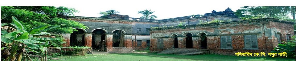
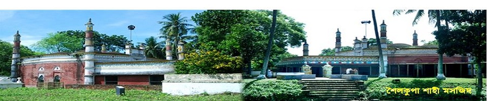
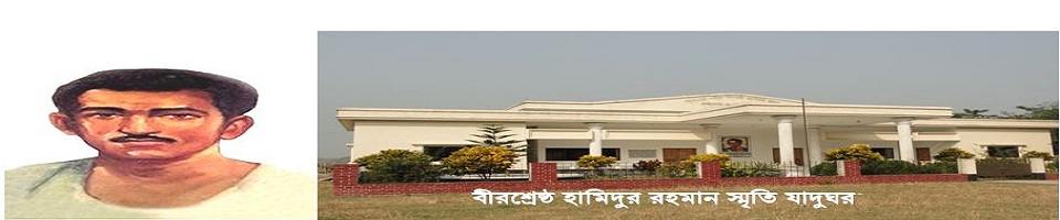
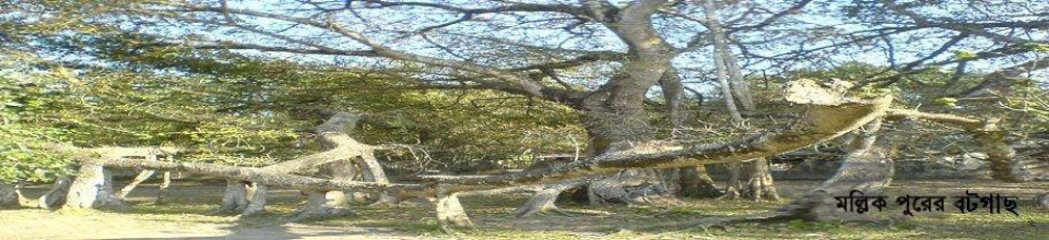
Others Institution
Educational Institution
Religious Institutions
Organization
-
Gallery
Photo Gallery
Videos Gallery
-
e-Services
e-Services
National E-services
Union Digital Center
-
National anthem
National anthem (audio)
National anthem (music track)
National Music Lessons
Jhenaidah is the gateway of South Bengal. The north of it is Kushtia, Magura in the east, Jessore on the south and 24 Parganas in the south and 24 Parganas of West Bengal and Chuadanga district in the west. The district is located at 23.15 north latitude 23.45 ° north latitude and 88 .45° north east. 89.5° 'east longitude. The total area of the district is 758 square miles (1941.36 sq km). Jhenaidah district is made up of six upazilas - Jhenaidah Sadar, Kaliganj, Kotchandpur, Maheshpur, Shailakupa and Harinakunda. Jhenaidah Sadar upazila consists of the largest (comprising 17 unions and one municipality) and the smallest upazila Kotchandpur (comprising 5 union and 1 municipality).
Agricultural climate
The climate here is warmly equated with warmth. Annual average temperature is 22 ° .24 'Celsius and annual rainfall is 152.190 cm. The Begaboti, the Ichhamati, the Kodala,the Kopatakkha,the Nabaganga, the Chitra and the Kumar river flow through Jhenaidah.


Planning and Implementation: Cabinet Division, A2I, BCC, DoICT and BASIS
Technical Assistance:
![]()
Developed By:
